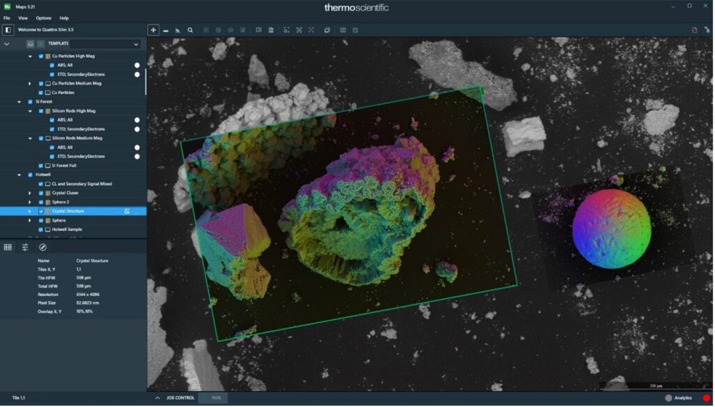
Well, you’re probably thinking of Google Maps. What Google Maps are to the world, Thermo Fisher Scientific MAPS are to microscopy. Even the ultra-high magnification the electron microscopes can now achieve (more than 1 million times) would be useless without context. Just as you can look at entire continents, states, cities, streets and even individual houses in Google Maps, with Thermo Fisher Scientific MAPS, you can combine images of different magnifications and even those coming from different devices. MAPS supports the widest range of various types of electron microscopes. For example, we can look at a cell magnified using optical, scanning or even transmission microscope at different magnifications and even identify the internal structure of individual organelles.


